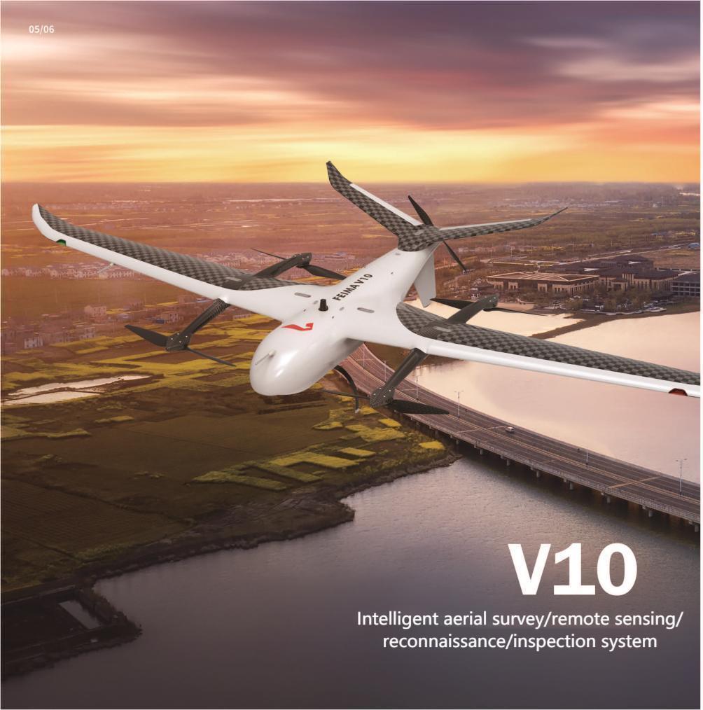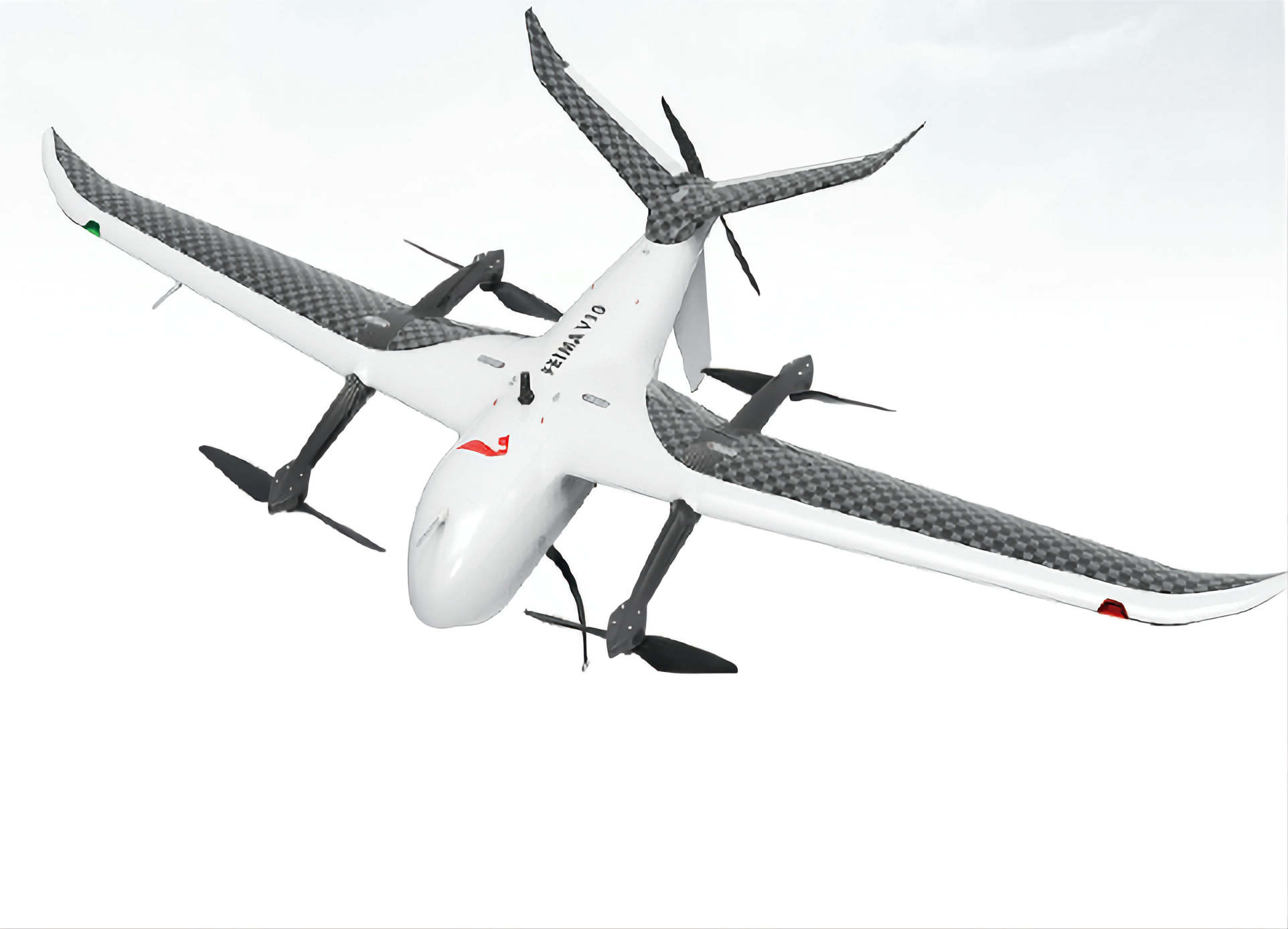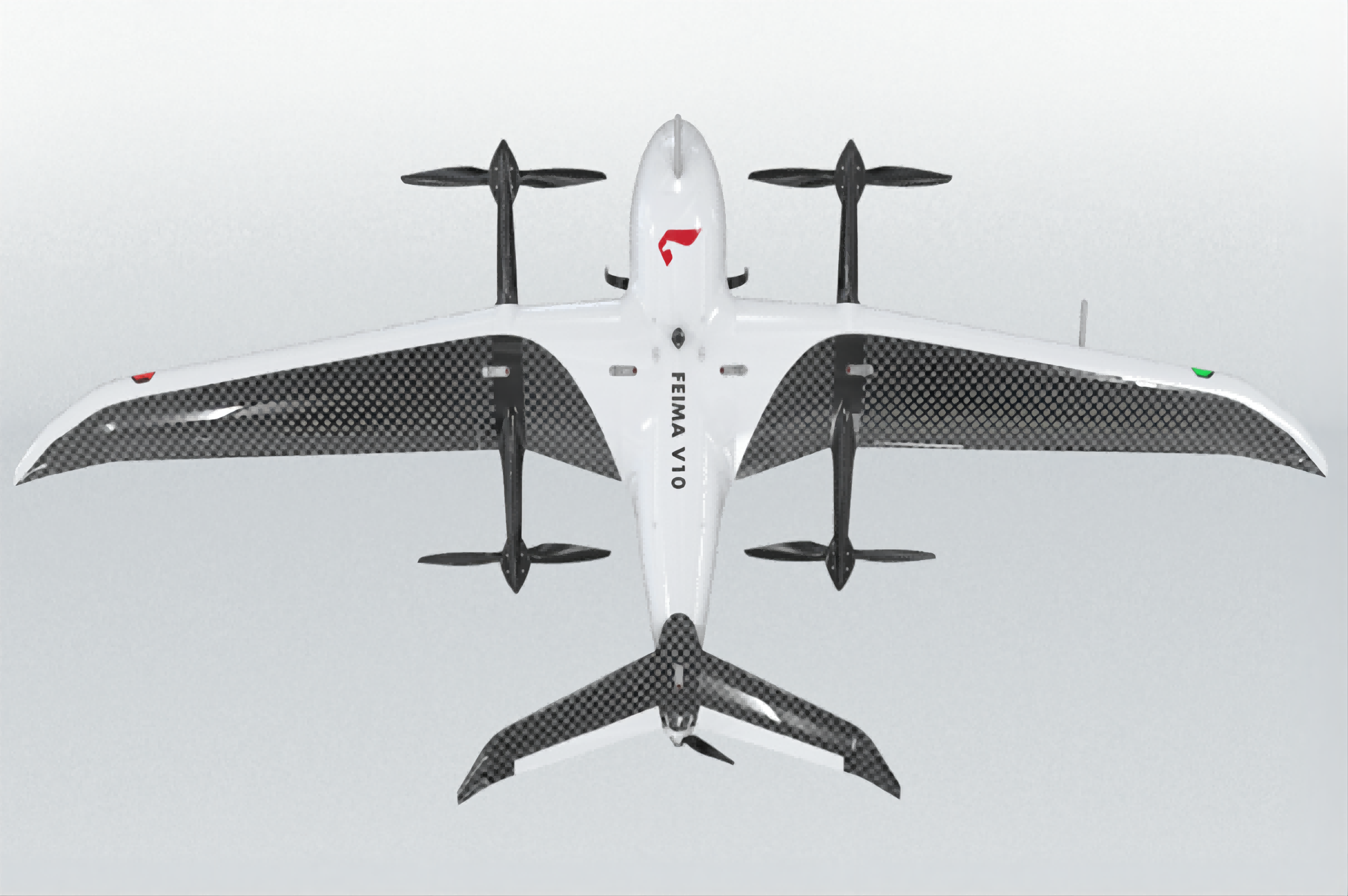


Industrialized Modular Design Of The Large-load Vertical Take-off And Landing Unmanned Aerial System V10
- Item No. : V10
Features & Applications
● Redundant fusion system for multiple sensors
● Support network RTK and PPK solving
● Ultra-long battery life and distributed power management
● High efficiency pneumatic and structural design
● Multi-load modules are interchangeable in design
● Shared with the D20 battery, the load is interconnected
● Intelligent GIS system drone butler and Pegasus cloud monitoring
- Inquiry now
Technical Specifications
|
SPECIFICATION |
material |
Carbon fiber + paper honeycomb +PMI reinforced composite |
wingspan |
4150mm |
|
plane length |
1750mm |
height |
700mm |
|
|
Drive way |
electric |
Motor number |
5pcs |
|
|
Take-off weight |
25kg |
Maximum load weight |
6kg |
|
|
Cruising speed |
20m/s |
Battery life |
150min@6kg Load, 240min@1kg load |
|
|
Take-off and landing mode |
Fully automatic vertical take-off and landing |
Positioning accuracy |
±1cm+1ppm (horizontal), ±2cm+1ppm (vertical) |
|
|
Maximum climb speed in rotor mode |
3m/s |
Maximum descent speed in rotor mode |
3m/s |
|
|
Maximum climb speed in fixed-wing mode |
5m/s |
Maximum descent speed in fixed-wing mode |
3m/s |
|
|
Practical altitude limit |
7500m |
Wind resistance |
Level 6 |
|
|
Control distance |
50km |
Operating temperature |
-20℃-50℃ |
|
|
Packed transport box |
Aluminum alloy equipment box EVA lining |
Task response time |
Expand ≤ 10min, withdraw ≤ 10min |
|
|
Load modules |
Aerial survey module, tilt module, remote sensing module, lidar module, video module, synthetic aperture radar module |
|||
|
V-CAM10 AERIAL TEST MODULE |
PTZ |
without |
Camera model |
SONY A7R4 |
|
resolving power |
9504x6336 |
Effective pixel |
61million pixels |
|
|
pixel size |
3.76μm |
Effective sensor area |
35.7mmx23.8mm |
|
|
camera lens |
40mm |
|
|
|
|
DV-CAM20 AERIAL SURVEY MODULE |
PTZ |
Adjustable ortho and tilt mode |
Camera model |
Freesys iXM-100 |
|
resolving power |
11664x8750 |
Effective pixel |
100million pixels |
|
|
pixel size |
3.76μm |
Effective sensor area |
43.9mmx32.9mm |
|
|
camera lens |
RSM 35mm lens |
Gnss/imu aided mapping |
support |
|
|
Attitude angle accuracy |
0.006° |
Heading angle accuracy |
0.03° |
|
|
D-OP4000 TILT PHOTOGRAPHY MODULE |
PTZ |
without |
Camera model |
SONY A7R4*5 |
|
resolving power |
9504x6336 |
Effective pixel |
300 million pixels (61 million pixels * 5) |
|
|
pixel size |
3.76μm |
Effective sensor area |
35.7mmx23.8mm |
|
|
camera lens |
Downward viewing 40mm, strabismus 56mm |
|
|
|
|
DV-LiDAR40 LIDAR MODULE |
Measuring distance |
1900m |
Scanning angle |
Up to 75 ° |
|
scanning speed |
40 ~ 400 lines / S |
Point frequency |
150k~1800kHz |
|
|
Echo times |
Infinite echo |
POS attitude accuracy |
Roll and pitch: 0.005 ° Heading 0.017 ° (post processing) |
|
|
Optical camera |
Effective pixel: 42million Pixel size: 3.76 μm |
|
|
|
|
DV-LiDAR30 LIDAR MODULE |
Measuring distance |
1430m(ρ>80%) |
Scanning angle |
Adjustable within 330 ° |
|
scanning speed |
50~400 lines / S |
Point frequency |
150k~1800kHz |
|
|
Echo times |
15 echoes |
POS attitude accuracy |
Roll and pitch: 0.005 ° Heading 0.01 ° (post processing) |
|
|
Optical camera |
Effective pixel: 42million Pixel size: 3.76 μm |
|
|
|
|
DV-LiDAR21 LIDAR MODULE |
Carrying platform |
D20、V10 |
Scanning angle |
Adjustable within 330 ° |
|
Accuracy |
5cm |
Weight |
5.3kg/4.7kg |
|
|
Size |
216mm × 384mm × 166mm |
Ranging mode |
TOF |
|
|
Wavelength |
1550nm |
Scanning frequency |
10 ~ 200Hz |
|
|
Point frequency |
50K ~ 550kHz |
Ranging accuracy |
± 10mm |
|
|
Sensor weight |
3.5kg |
Sensor size |
227mm × 180mm × 125mm |
|
|
DV-LiDAR22 LIDAR MODULE |
Carrying platform |
D20、V10 |
Scanning angle |
Adjustable within 330 ° |
|
Accuracy |
5cm |
Weight |
5.3kg/4.7kg |
|
|
Size |
216mm × 384mm × 166mm |
Ranging mode |
TOF |
|
|
Wavelength |
1550nm |
Scanning frequency |
10 ~ 200Hz |
|
|
Point frequency |
50k~1500kHz |
Ranging accuracy |
±15mm |
|
|
Sensor weight |
3.5kg |
Sensor size |
227mm × 180mm × 125mm |
|
Functions
V10 is a large-load vertical take-off and landing unmanned aerial vehicle system, using a universal intelligent power battery and high-end load equipment, can be equipped with visible light aerial measurement module, visible light tilt module, visible light video module, thermal infrared camera module, thermal infrared video module, multispectral module, hyperspectral module, lidar module, synthetic aperture radar module and some combination modules; With high-precision differential GNSS board, standard network RTK/PPK and its fusion solution service, support high-precision POS auxiliary aerial triangulation, with no control point 1:500 scale drawing capability, to achieve image-free applications.


